
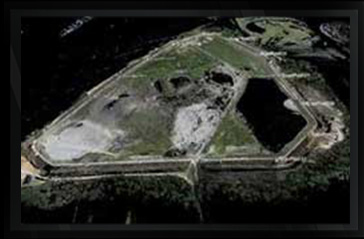
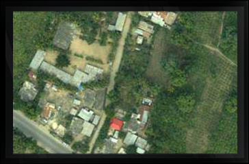
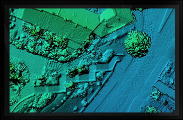
LAND SURVEY SAMPLES
CLICK ON IMAGE FOR DESCRIPTION


Arc Surveying & Mapping, Inc. is equipped with the most modern rapid data collection surveying instruments available, operated by experienced professional land surveyors. From the smallest small residential lot survey to largest subdivision tract survey.
Arc Surveying & Mapping, Inc. provides worry free services at a reasonable price.


hydrographic, topographic, geophysical, static and mobile Laser scanning, shoaling surveys, probing, contaminated sediment surveys, acoustic doppler current profiling, quantity calculations, Blueview imagery, side-scan sonar imagery, condition, pre and post dredging surveys, chemical analysis, magnetometer surveys, deformation, emergency, structural monitoring, crane measurements, berth surveys, drone (UAV) LiDAR, video and photogrammetric inspection surveys, 3D Interactive modeling, asset management, geographic Information systems, GIS, AutoCAD, MicroStation