Surveying plays a vital role in infrastructure, construction, and environmental management. But when it comes to choosing the right method, many decision-makers ask: LiDAR vs. Traditional Surveying — which is better? At Arc Surveying and Mapping, Inc., we’ve been helping clients answer this question for over 35 years.
In this post, we break down the pros, cons, and best uses for each method so you can make an informed decision based on your project’s needs.
What Is Traditional Surveying?
Traditional surveying involves manual techniques to collect spatial data. Surveyors use instruments like total stations, GPS receivers, and levels to measure distances, angles, and elevations. This process has been the standard for centuries and is still widely used today.
Key Features of Traditional Surveying:
- High accuracy for small to medium-sized sites
- Manual data collection and calculations
- Requires boots-on-the-ground fieldwork
- Works well in accessible terrain
Traditional surveying is perfect for land boundary surveys, small construction projects, and areas where visibility is clear and consistent.
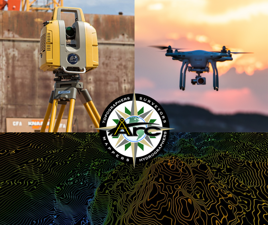
What Is LiDAR Surveying?
LiDAR stands for Light Detection and Ranging. It uses laser pulses to measure distances and create detailed 3D models of the environment. LiDAR systems are often mounted on drones, aircraft, or ground vehicles, making them perfect for hard-to-reach or expansive areas.
Key Features of LiDAR:
- Rapid data collection
- Creates dense, detailed point clouds
- Captures topography under vegetation
- Ideal for large-scale or remote areas
LiDAR is widely used in forestry, coastal mapping, flood risk analysis, and infrastructure development.
LiDAR vs. Traditional Surveying: A Side-by-Side Comparison
Let’s look at how each method compares in key areas:
| Feature | Traditional Surveying | LiDAR Surveying |
| Speed | Slower, due to manual data collection | Faster, can cover large areas quickly |
| Accuracy | Highly accurate at smaller scales | Accurate at large scales, with slight variations depending on system |
| Accessibility | Challenging in dense forests or rough terrain | Excellent for hard-to-reach or obstructed areas |
| Cost | Cost-effective for small jobs | Higher upfront cost but efficient for large areas |
| Data Output | Coordinates, elevations, plans | 3D models, point clouds, and elevation data |
| Applications | Construction, land boundaries | Coastal mapping, vegetation analysis, topographic surveys |
Which One Should You Choose?
There’s no one-size-fits-all answer. The right surveying method depends on your project’s size, location, timeline, and data needs.
Choose Traditional Surveying If:
- You’re working on a small or mid-sized site
- High-precision boundaries are critical
- The area is easy to access
- Budget is limited and time is flexible
Choose LiDAR Surveying If:
- Your project spans large or remote areas
- You need data quickly
- The site is covered by vegetation or difficult terrain
- You need advanced 3D modeling
Combining Both for Better Results
Many firms are now using both LiDAR and traditional methods together. At Arc Surveying and Mapping, we often integrate LiDAR for rapid scanning and traditional surveying for high-accuracy checkpoints. This hybrid approach improves accuracy, saves time, and ensures compliance with project requirements.
Real-World Applications of LiDAR and Traditional Surveying
LiDAR in Action:
Coastal engineers use LiDAR to monitor shoreline changes and sea level rise. The U.S. Geological Survey offers extensive LiDAR data for public use — check out their 3DEP program to see national efforts in LiDAR collection.
Traditional Surveying in Action:
Land developers rely on traditional methods for precise boundary surveys, zoning, and subdivision planning. In urban environments, traditional surveying is often the best choice due to regulations and accuracy needs.
Final Thoughts: Choosing the Right Partner Matters
Whether you need LiDAR, traditional surveying, or a combination of both, working with the right team makes all the difference. At Arc Surveying and Mapping, Inc., we bring decades of experience and cutting-edge technology to every project.
Our licensed professionals, UAV pilots, GIS experts, and certified hydrographers are ready to deliver dependable, precise, and cost-efficient results.
Let’s discuss your project and help you choose the best surveying method. When it comes to LiDAR vs. Traditional Surveying, trust Arc to lead the way.
Ready to Get Started?
Contact us today at https://www.arcsurveyors.com and let’s explore your surveying needs together.