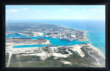
PORT PROJECT SAMPLES
CLICK ON IMAGE FOR DESCRIPTION
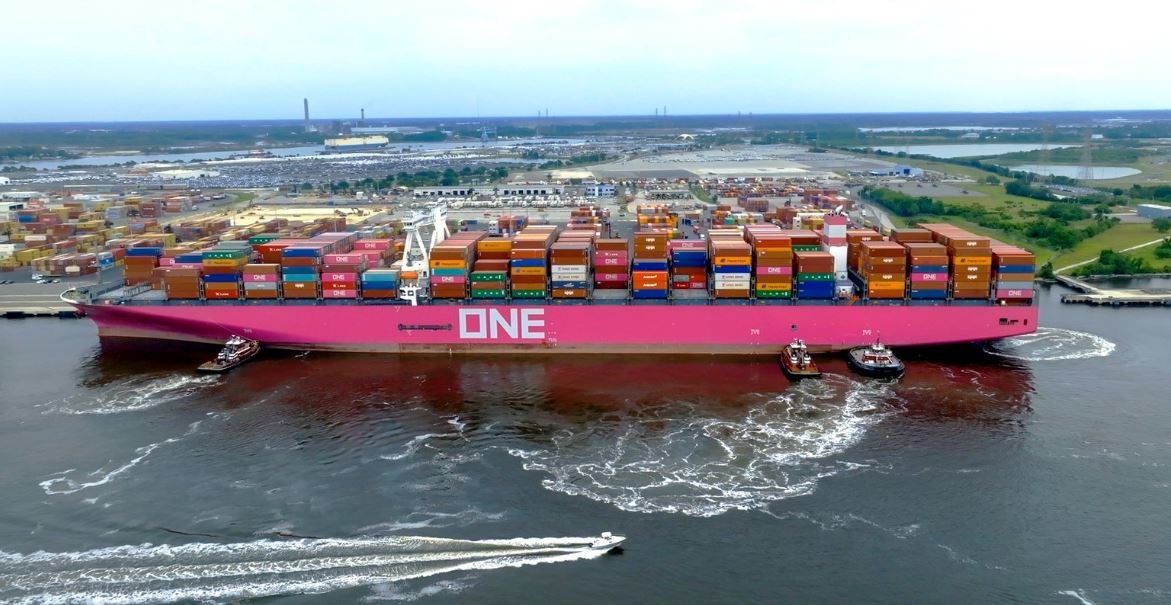
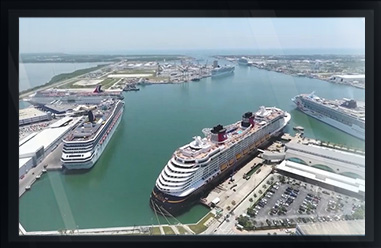
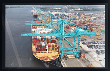
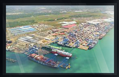
Arc Surveying & Mapping, Inc. provides various surveying services to port facilities throughout North and South America, including the Caribbean.
Arc assists ports in planning maintenance and expansion projects by providing the technology necessary to excavate with a plan.
Deepen and widen economically through a clear understanding of the geophysical properties of the subsurface and to ensure berth sheeting and piles are at sufficient depth.
Does your landside or offshore dredged material containment area (DMCA) have sufficient capacity for additional material?
Arc Surveying & Mapping Inc. can provide a 3D Interactive Digital Twin Model of port facilities for asset management and expansion planning.
hydrographic, topographic, geophysical, static and mobile Laser scanning, shoaling surveys, probing, contaminated sediment surveys, acoustic doppler current profiling, quantity calculations, Blueview imagery, side-scan sonar imagery, condition, pre and post dredging surveys, chemical analysis, magnetometer surveys, deformation, emergency, structural monitoring, crane measurements, berth surveys, drone (UAV) LiDAR, video and photogrammetric inspection surveys, 3D Interactive modeling, asset management, geographic Information systems, GIS, AutoCAD, MicroStation

