REMOTE SENSING SHOWCASE GALLERY
REMOTE SENSING SAMPLES
CLICK ON IMAGE FOR DESCRIPTION
Remote sensing has a wide range of applications in many different fields:
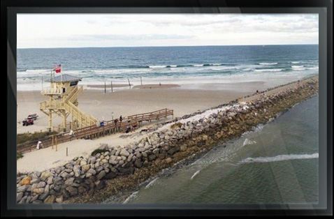
Coastal applications: Monitor shoreline changes, track sediment transport, and map coastal features. Data can be used for coastal mapping and erosion prevention.
Ocean applications: Monitor ocean circulation and current systems, measure ocean temperature and wave heights, and track sea ice.
Data can be used to better understand the oceans and how to best manage ocean resources.
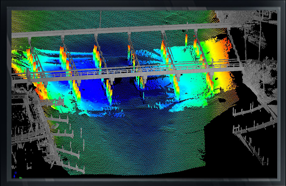
Hazard assessment: Track hurricanes, earthquakes, erosion, and flooding.
Data can be used to assess The impacts of a natural disaster and create preparedness strategies to be used before and after a hazardous event.
Natural resource management: Monitor land use, map wetlands, and chart wildlife habitats.
Data can be used to minimize the damage that urban growth has on the environment and help decide how to best protect natural resources.
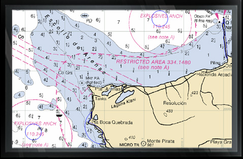
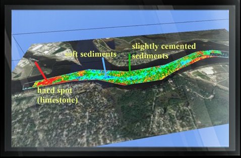
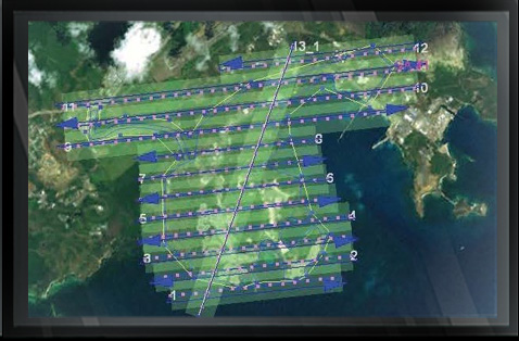
hydrographic, topographic, geophysical, static and mobile Laser scanning, shoaling surveys, probing, contaminated sediment surveys, acoustic doppler current profiling, quantity calculations, Blueview imagery, side-scan sonar imagery, condition, pre and post dredging surveys, chemical analysis, magnetometer surveys, deformation, emergency, structural monitoring, crane measurements, berth surveys, drone (UAV) LiDAR, video and photogrammetric inspection surveys, 3D Interactive modeling, asset management, geographic Information systems, GIS, AutoCAD, MicroStation

